
Bayport Gets Its Own Detailed Aerial Map Print |
KNOWOL's new print traces the hamlet's streets, waterways and parks in a detailed atlas-style design |
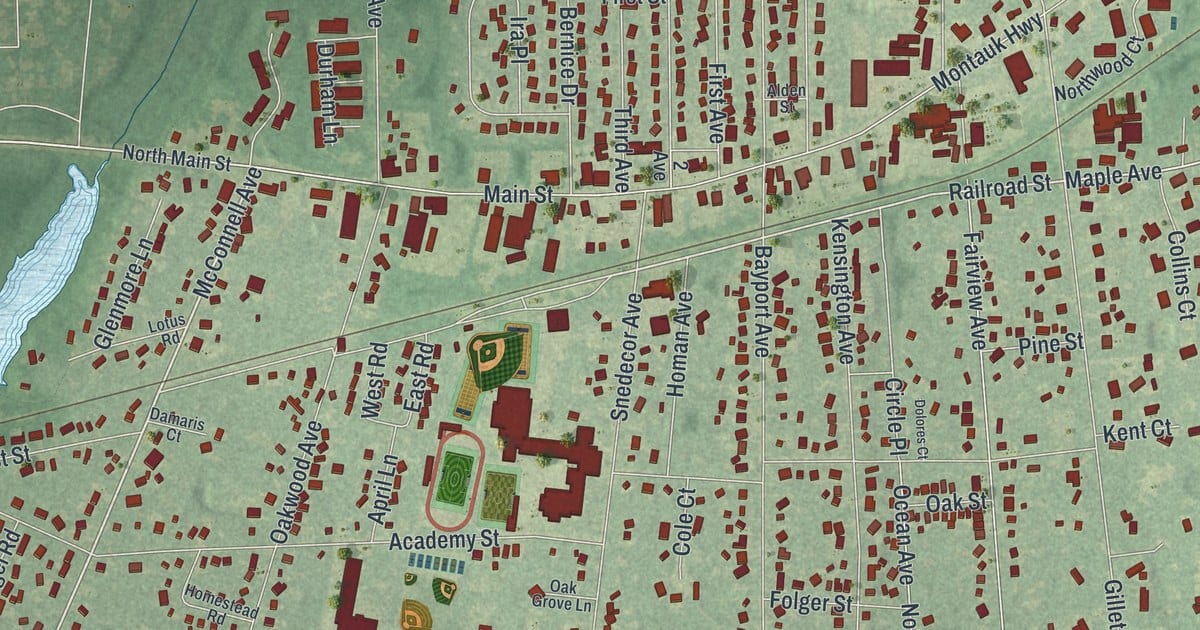
A new poster-sized aerial map of Bayport is now available from KNOWOL, an online map printing company, giving residents a detailed bird's-eye view of the hamlet's streets, waterways and parks. The map traces familiar routes including Veterans Memorial Highway, Middle Road, Main Street, McConnell Avenue and Railroad Street, with Sans Souci County Park labeled along the way. KNOWOL built the artwork from real geographic data collected in 2026, styling it to resemble a page from an old atlas. Buildings appear as small raised blocks with soft shading, and a ruled border, scale bar and title panel listing Bayport's coordinates finish the design. Prints can be ordered directly through KNOWOL's website. See the full listing → |
0 Comments
Join the conversation
Be the first to comment
Share your thoughts above.